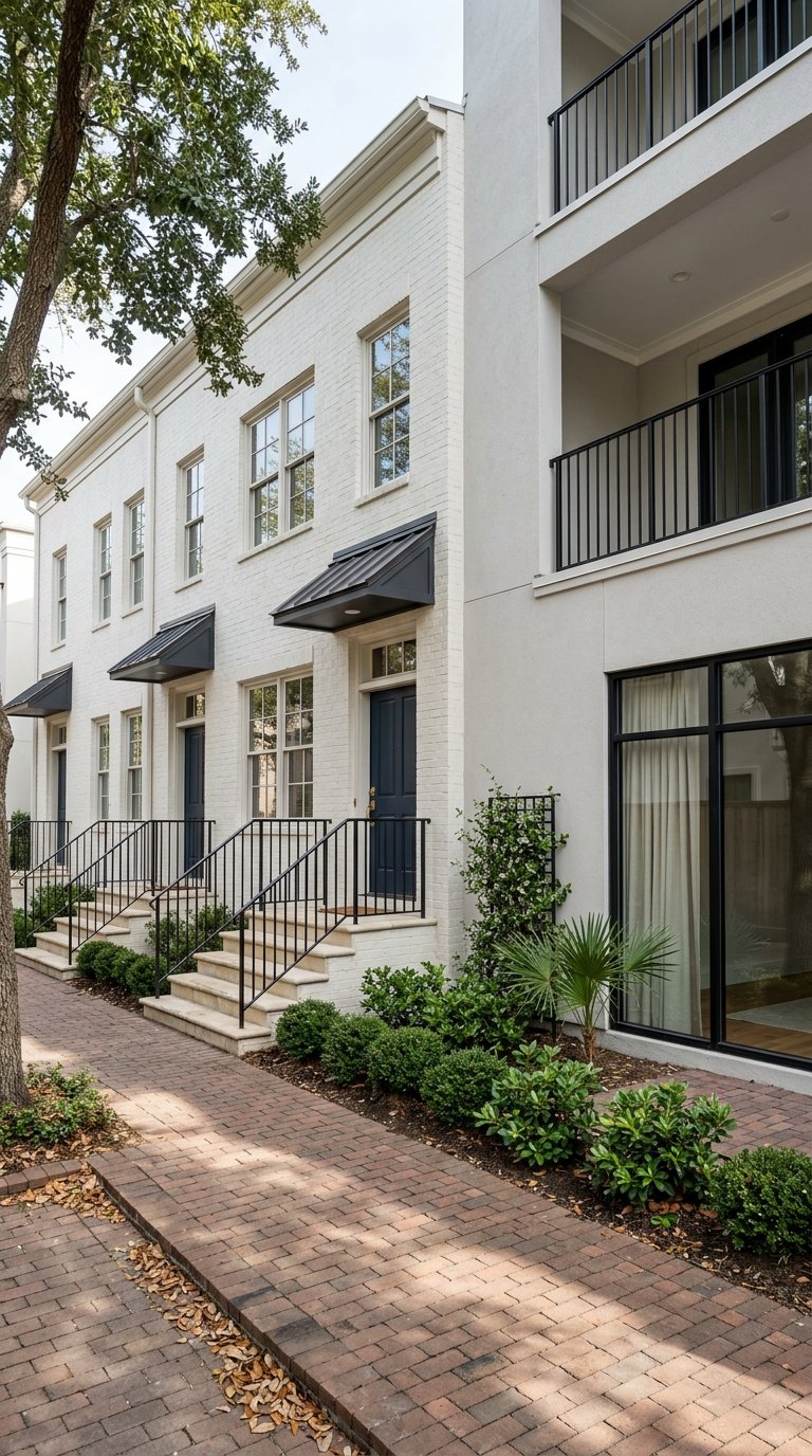
Waterfront sunsets over the Battery are hard to resist. If you are eyeing a home on the Charleston peninsula, you also know flood zones and insurance can raise real questions. You want the view, the walkability, and the history — without surprises at closing. In this guide, you will learn how flood zones work in 29401, what local rules mean for buying and renovating, and how to check insurance and elevation details before you commit. Let’s dive in.
Waterfront reality in 29401
Charleston’s historic peninsula is surrounded by tidal water. Much of 29401 appears within FEMA’s Special Flood Hazard Area on the latest Flood Insurance Rate Maps, with AE, Coastal A, and VE designations. You can verify any address using the FEMA Flood Map Service Center.
High-tide flooding already happens more often than it used to. NASA’s regional summary for Charleston documents decades of sea-level rise and a clear increase in “sunny day” street flooding. NOAA’s outlooks project that Charleston could see roughly 70 to 90 high-tide flood days per year by mid-century under intermediate scenarios. That is why your due diligence needs to focus on elevation, construction, and insurability.
Waterfront living here is still very possible. You just need a plan that matches the property’s specific conditions and the City’s permitting standards.
Flood zones, explained in plain English
AE and A zones
These mark the 1 percent annual chance flood. AE panels include a Base Flood Elevation, which is the height floodwaters are expected to reach in a major event.
VE and V zones
These are coastal high-hazard areas where waves and velocity matter. Building standards are stricter and foundation design changes.
Coastal A
The City enforces Coastal A construction requirements in areas where wave action may occur even if the map shows AE. This affects foundation design and materials.
X zones
These indicate moderate to minimal mapped risk. Flooding can still occur. Many claims happen outside mapped high-risk areas, so insurance can still be a smart choice.
The three checks before you write an offer
Do these early in your search, especially for waterfront or near-water listings.
1) Confirm the FEMA zone and panel
Look up the address on the FEMA Flood Map Service Center and download the FIRMette for your records. This confirms whether the structure or lot sits in AE, VE, Coastal A, or X and provides the relevant Base Flood Elevation if shown.
2) Ask for the Elevation Certificate and any Letters of Map Change
An Elevation Certificate shows the first-floor height and foundation details relative to the Base Flood Elevation. Request it from the seller and check whether the City has one on file through its Elevation Certificates guidance. If the data shows the structure is above the mapped flood level, a Letter of Map Amendment or Revision may exist or be possible. FEMA’s guidance explains the LOMA/LOMR process and when it can remove a mandatory insurance requirement.
3) Get real insurance quotes
Flood insurance pricing now reflects property-specific factors, not just the zone. FEMA’s Risk Rating 2.0 considers first-floor height, distance to water, replacement cost, and other features. Always compare an NFIP quote with at least one private-market quote. Start with consumer guidance from FloodSmart and ask about coverage differences, limits, and waiting periods.
Local rules that shape what you can build
Charleston has added safety margins on top of FEMA’s maps. The City requires freeboard above the Base Flood Elevation: 2 feet for new construction and nonresidential substantial improvements, and 1 foot for residential substantial improvements. These rules define your Design Flood Elevation and directly affect foundation height and finished-floor elevation. Review the City’s Floodplain Development standards to understand how they apply to your property.
If you plan a significant renovation or a new build in the regulatory floodplain, note two more points. The City enforces Coastal A construction standards consistent with state code, and slab-on-grade foundations are prohibited for single-family homes within the regulatory floodplain for projects applied for on or after January 1, 2024. These design requirements can influence cost, curb appeal, and timeline.
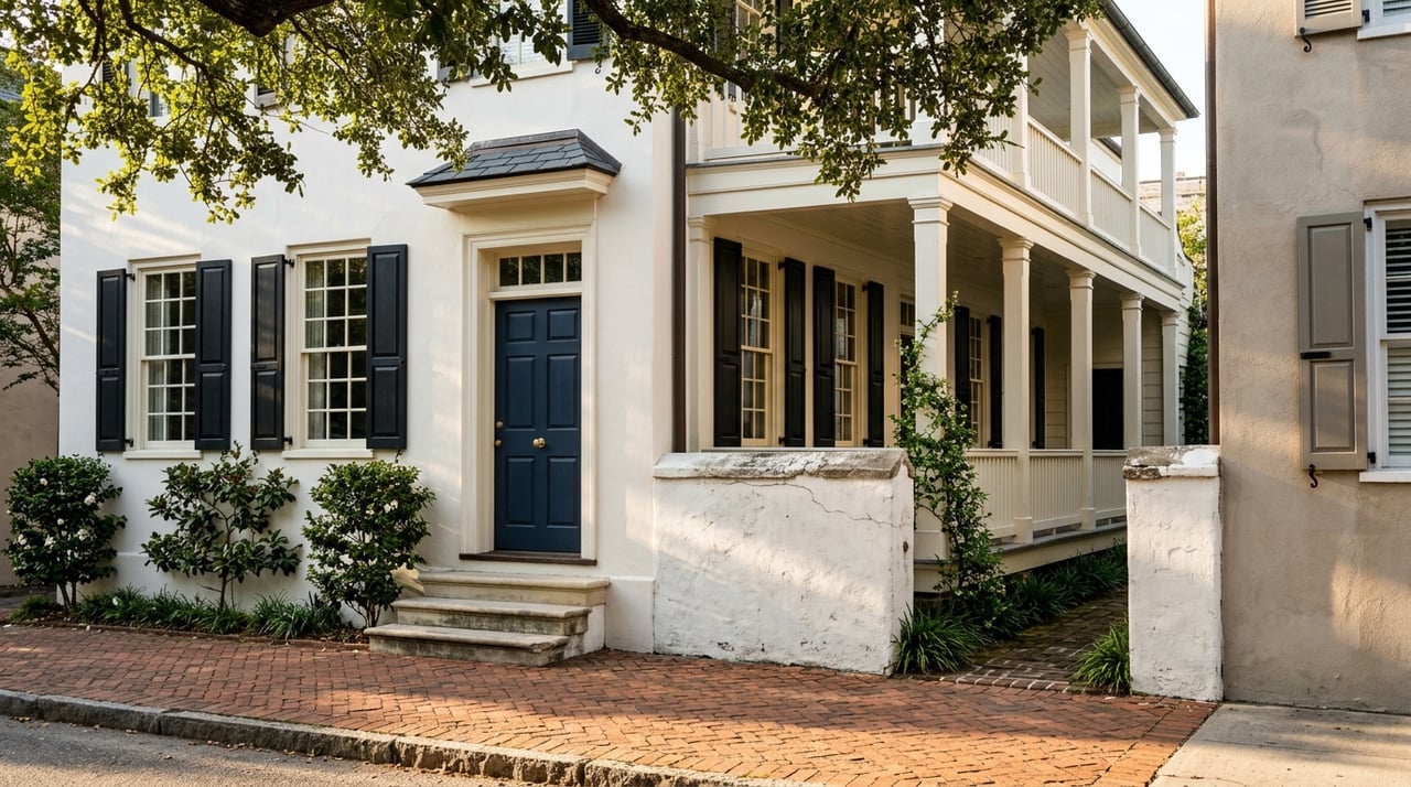
Historic-district properties add another layer. The City’s Board of Architectural Review process can affect how and how much you elevate a historic structure. Expect additional documentation and design review if your home is within a protected district.
Charleston’s water data and tools to use
Tides are the heartbeat of flood risk on the peninsula. NOAA’s Charleston tide gauge provides the long-term record used for forecasts and planning. For street-level context, the City’s Living With Water hub links to TIDEeye and local map layers that show drainage basins, tide forecasts, and project footprints. These tools help you see how daily tides, storms, and drainage interact around your block.
When you combine a property’s FEMA panel with its first-floor elevation and nearby drainage improvements, you get a much clearer risk picture than a zone label alone.
What rising seas mean for buyers
Sea level has risen meaningfully over the last several decades in Charleston, which raises the baseline for both high-tide flooding and storm surge. NASA’s local overview pulls together how that trend has already produced more nuisance-flood days around downtown. NOAA’s regional outlook projects that by mid-century Charleston could experience dozens of high-tide flood days each year under intermediate scenarios. Plan for more frequent shallow flooding and design choices that keep living space above expected water levels.
In practice, this means you should prioritize homes with compliant elevation, resilient materials, and accessible utilities. It also means insurance pricing may continue to evolve. Get updated quotes during every negotiation and renewal.
Insurance, mortgages, and your closing
If a structure is in an AE, VE, or Coastal A zone and you use a federally regulated mortgage, the lender will normally require flood insurance for the life of the loan. Policies are available through the National Flood Insurance Program and private carriers. Under Risk Rating 2.0, the premium is tailored to the property, so two neighboring homes can price very differently.
A precise Elevation Certificate can lower uncertainty and speed underwriting. If new survey data proves the structure sits above the mapped flood level, a successful LOMA or LOMR can remove the mandatory purchase requirement. Read FEMA’s LOMA/LOMR guidance and work with a licensed surveyor or engineer.
Even if a home sits in an X zone, consider an NFIP Preferred Risk Policy. Many flood claims occur outside mapped high-risk areas. A modest premium can protect equity and help you avoid self-insuring a high-cost repair.
City projects and resilience work to watch
Charleston is investing in multiple efforts to manage water. The City’s Projects page tracks major work across the peninsula. Highlights include:
- Battery Extension and peninsula protection: a long-range partnership with the U.S. Army Corps of Engineers focused on perimeter protection. Status and scope are evolving and timelines span years. Treat this as an important investment, not a completed shield.
- Basin Flood Action and stormwater capital projects: targeted drainage work, pipe upsizing, and basin planning that can reduce street-level flooding in select areas.
City tools on the Living With Water page can help you see where projects are planned or underway. These efforts can reduce some types of flooding, especially heavy-rain events, but they do not remove tidal or surge risk. Keep insurance and elevation planning central to your decision.
Buyer checklist for 29401 waterfront
Use this quick list to keep your due diligence on track.
- Confirm the FEMA zone and panel for the exact address using the FEMA Flood Map Service Center.
- Request the Elevation Certificate, recent flood-insurance declarations, and any claims history from the seller. Check the City’s Elevation Certificates guidance for how to locate or file one.
- Ask for any Letters of Map Change or map appeals affecting the parcel. If none exist and elevation appears favorable, discuss LOMA/LOMR options with a surveyor. See FEMA’s process overview.
- Gather quotes from an NFIP agent and at least one private carrier. Use FloodSmart to understand coverage options, limits, and waiting periods.
- Review the City’s Floodplain Development rules for freeboard, Coastal A standards, and the slab-on-grade prohibition where it applies.
- If the home is in a historic district, plan for BAR review when elevating or altering visible foundations. Allow time for design approvals.
- Check the City’s Living With Water tools and Projects page for nearby drainage or resilience plans that could change local conditions.
What sellers should prepare now
Buyers in 29401 ask smart questions. You can streamline your sale by anticipating them.
- Gather documentation: Elevation Certificate, insurance declarations, and any LOMA/LOMR approvals. Make these available early.
- Clarify improvements: Note any elevation, flood vents, flood-resistant materials, or utility relocations completed with permits.
- Price-insurance transparency: Share recent NFIP and private quotes to reduce uncertainty for buyers comparing homes.
- Strategy for timing: If you need a defined timeline, consider whether an auction-driven sale format could help you move efficiently while keeping pricing transparent to qualified buyers.
How we help you decide with clarity
A great waterfront choice blends lifestyle, architecture, and data. We help you read the map panels, evaluate elevation information, and coordinate with insurers and surveyors so you can compare options with confidence. If you are selling, we package the right documentation and, when appropriate, can leverage a timeline-driven auction strategy for maximum visibility and speed.
Ready to explore 29401 waterfront homes with a clear plan for flood zones, insurance, and permitting? Connect with the team at Harcourts Carolinas to start a focused, no-pressure conversation about your goals.
FAQs
What does Base Flood Elevation mean in Charleston?
- The Base Flood Elevation is the mapped height of floodwater in a 1 percent annual chance event. The City requires freeboard above that level for permits, so your Design Flood Elevation equals BFE plus the City’s required feet of freeboard. See the City’s Floodplain Development standards for details.
How do I check my exact flood zone for a 29401 address?
- Look up the property on the FEMA Flood Map Service Center and download the FIRMette. Pair it with City tools on the Living With Water page for local elevation, drainage, and tide context.
Will my lender require flood insurance in 29401?
- If your structure is in AE, VE, or Coastal A and your lender is federally regulated, insurance is typically required for the life of the loan. Start with FloodSmart for NFIP basics and compare with a private quote.
Can a Letter of Map Amendment remove my flood insurance requirement?
- Possibly. If certified survey data shows the building sits above the mapped flood level, FEMA’s LOMA or LOMR process can remove the mandatory purchase requirement. Review FEMA’s guidance and consult a licensed surveyor.
How often does high-tide flooding occur in downtown Charleston?
- Records and regional analyses show it has increased over time. NOAA’s outlook projects roughly 70 to 90 high-tide flood days per year by mid-century under intermediate scenarios. NASA’s Charleston summary explains the long-term trend and local impacts.
Where can I see City resilience projects near my block?
- The City’s Projects page lists major efforts such as the Battery Extension and basin drainage work. The Living With Water hub links to map tools like TIDEeye that show tides, basins, and project footprints in context.